-
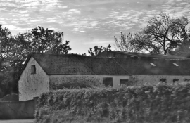
Farm Outbuilding On Arnold's Hill
-
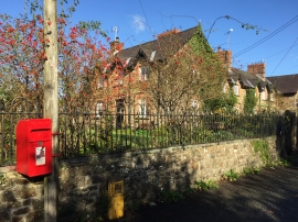
Post box, The Rhos
Farm Outbuilding On Arnold's Hill
Post box, The Rhos
Location and coordinates are for the approximate centre of The Belts within this administrative area. Geographic features and populated places may cross administrative borders.