-
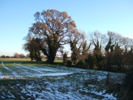
Winter time, Terrington St John, Norfolk
-

On the edge of St John's Highway, Norfolk
Winter time, Terrington St John, Norfolk
On the edge of St John's Highway, Norfolk
Location and coordinates are for the approximate centre of Terrington St John within this administrative area. Geographic features and populated places may cross administrative borders.