-
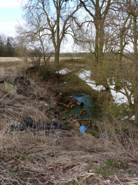
Abused pond near Stoney Plantation
-
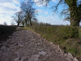
That's no way to treat the old Roman Road
Abused pond near Stoney Plantation
That's no way to treat the old Roman Road
Location and coordinates are for the approximate centre of Taylor's Plantation within this administrative area. Geographic features and populated places may cross administrative borders.