-
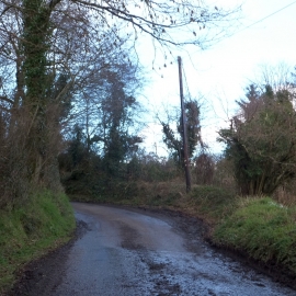
Passing place at Farthing Park
-
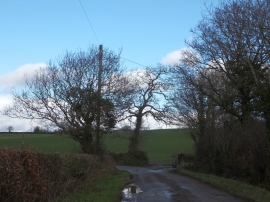
Birchenbeer Corner
Passing place at Farthing Park
Birchenbeer Corner
Location and coordinates are for the approximate centre of Tail Wood within this administrative area. Geographic features and populated places may cross administrative borders.