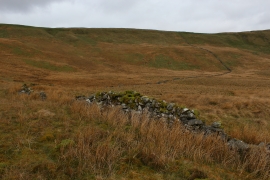
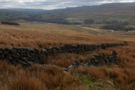
Swinepot Moss, North Yorkshire

« Gazetteer Entry
Upload Photo

Swinepot Moss, North Yorkshire

  • Parish/Community: Hawes
  • District/Borough: Richmondshire
  • County: North Yorkshire
  • Region: Yorkshire and the Humber
  • Category: Landcover
  • Type: Other Landcover
  • Latitude/Longitude: 54°18'16"N 2°16'1"W
  • Eastings/Northings: 382715, 489909
  • OS Grid: SD827899
  • Mapcode Local: GBR DLLN.ZQ
  • Mapcode Global: WHB5L.42NF

Location and coordinates are for the approximate centre of Swinepot Moss within this administrative area. Geographic features and populated places may cross administrative borders.

BritishPlaceNames.uk is a Good Stuff website.