-
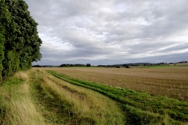
Farmland south of Swindon in Staffordshire
-
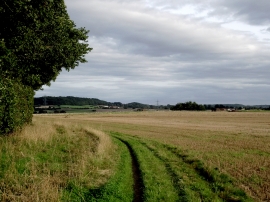
Farmland south of Swindon in Staffordshire
Farmland south of Swindon in Staffordshire
Farmland south of Swindon in Staffordshire
Location and coordinates are for the approximate centre of Swindon Rough within this administrative area. Geographic features and populated places may cross administrative borders.