-
The magic of light on Orkney
-
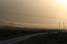
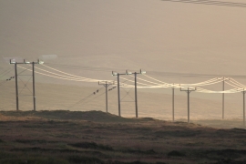
The melancholy of the gloaming on Hoy
The magic of light on Orkney
The melancholy of the gloaming on Hoy
Location and coordinates are for the approximate centre of Sweing Geo within this administrative area. Geographic features and populated places may cross administrative borders.