-

Rail side clearance on the London to Brighton line
-
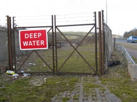
Entrance to the first of three water collection channels
Rail side clearance on the London to Brighton line
Entrance to the first of three water collection channels
Location and coordinates are for the approximate centre of Sweet Hill within this administrative area. Geographic features and populated places may cross administrative borders.