-

View from Dewberry Hill
-
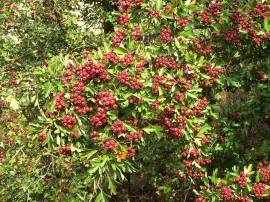
Haws by the hundred
View from Dewberry Hill
Haws by the hundred
Location and coordinates are for the approximate centre of Sunpit Plantation within this administrative area. Geographic features and populated places may cross administrative borders.