-
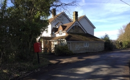
Postbox on Steep Road
-
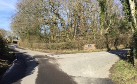
Entrance to Steep Hill Farm
Postbox on Steep Road
Entrance to Steep Hill Farm
Location and coordinates are for the approximate centre of Stumletts Pit Wood within this administrative area. Geographic features and populated places may cross administrative borders.