-

Pylon among the trees
-
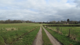
Public footpath through Cranberry Park
Pylon among the trees
Public footpath through Cranberry Park
Location and coordinates are for the approximate centre of Strowdens Copse within this administrative area. Geographic features and populated places may cross administrative borders.