-
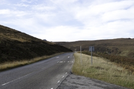
Road west to Gairloch
-
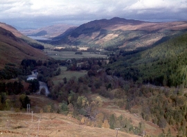
Strath More, the valley of the River Broom
Road west to Gairloch
Strath More, the valley of the River Broom
Location and coordinates are for the approximate centre of Strone Wood within this administrative area. Geographic features and populated places may cross administrative borders.