-
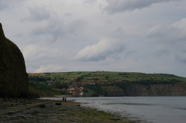
Looking north along the coast at Stoupe Beck Sands
-
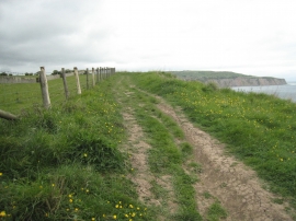
Path to Boggle Hole
Looking north along the coast at Stoupe Beck Sands
Path to Boggle Hole
Location and coordinates are for the approximate centre of Strickland Dump within this administrative area. Geographic features and populated places may cross administrative borders.