-
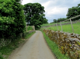
Narrow Lane leading away from Caldbergh
-
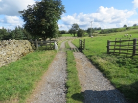
Track and cattle grid at Carldbergh
Narrow Lane leading away from Caldbergh
Track and cattle grid at Carldbergh
Location and coordinates are for the approximate centre of Strand's Wood within this administrative area. Geographic features and populated places may cross administrative borders.