-
The edge of Westend Moss
-

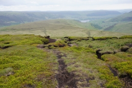
The steep drop from Westend Moss
The edge of Westend Moss
The steep drop from Westend Moss
Location and coordinates are for the approximate centre of Stoneford Grough within this administrative area. Geographic features and populated places may cross administrative borders.