-
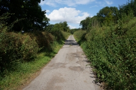
A land locked public right of way
-
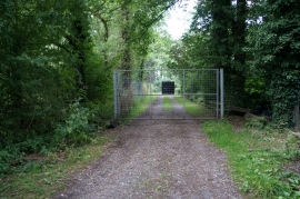
Locked gate near Jew Leys Lane
A land locked public right of way
Locked gate near Jew Leys Lane
Location and coordinates are for the approximate centre of Stone Bridge Plantation within this administrative area. Geographic features and populated places may cross administrative borders.