-

View towards a quarry
-
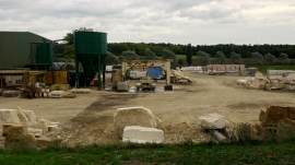
Stone-dressing business
View towards a quarry
Stone-dressing business
Location and coordinates are for the approximate centre of Stoke Wood within this administrative area. Geographic features and populated places may cross administrative borders.