-

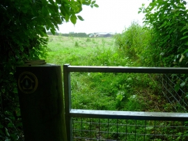
Track near Stoke Water Farm
-
The Orange Way in Dorset and Somerset (51)
Track near Stoke Water Farm
The Orange Way in Dorset and Somerset (51)
Location and coordinates are for the approximate centre of Stoke Water within this administrative area. Geographic features and populated places may cross administrative borders.