-
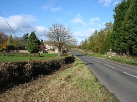
The road to Tytherington
-
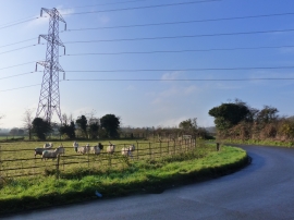
Bend in the road - and a field of sheep, Stidcot, near Tytherington
The road to Tytherington
Bend in the road - and a field of sheep, Stidcot, near Tytherington
Location and coordinates are for the approximate centre of Stidcot within this administrative area. Geographic features and populated places may cross administrative borders.