-
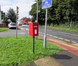
Queen Elizabeth II postbox on a Steynton corner
-
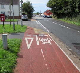
Shared cycleway and footpath, Neyland Road, Steynton
Queen Elizabeth II postbox on a Steynton corner
Shared cycleway and footpath, Neyland Road, Steynton
Other current and historical names
Location and coordinates are for the approximate centre of Steynton within this administrative area. Geographic features and populated places may cross administrative borders.