-

Access to Swire Way, Melsonby
-
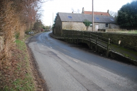
Melsonby Ford
Access to Swire Way, Melsonby
Melsonby Ford
Location and coordinates are for the approximate centre of Stanwick Hall Reservoir within this administrative area. Geographic features and populated places may cross administrative borders.