-
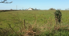
Field and house by Staddon Road
-
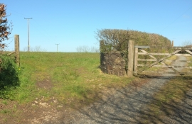
Field and farm track, Staddon
Field and house by Staddon Road
Field and farm track, Staddon
Location and coordinates are for the approximate centre of Staddon within this administrative area. Geographic features and populated places may cross administrative borders.