-

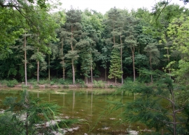
View south from the northern end of the mill pond, Welton Dale
-
Mill pond to the north of Welton Mill
View south from the northern end of the mill pond, Welton Dale
Mill pond to the north of Welton Mill
Location and coordinates are for the approximate centre of Spring Plantation within this administrative area. Geographic features and populated places may cross administrative borders.