-
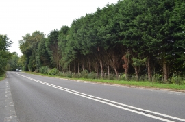
A267 towards Mayfield
-
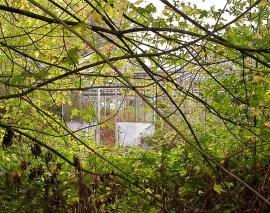
Overgrown greenhouse, Trulls Hatch Nursery
A267 towards Mayfield
Overgrown greenhouse, Trulls Hatch Nursery
Location and coordinates are for the approximate centre of Spitlye Wood within this administrative area. Geographic features and populated places may cross administrative borders.