-
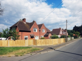
Houses in Heath Road
-
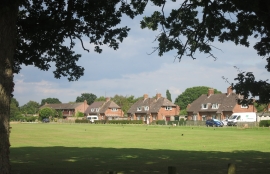
New Way from the Cricket Ground
Houses in Heath Road
New Way from the Cricket Ground
Location and coordinates are for the approximate centre of Southend within this administrative area. Geographic features and populated places may cross administrative borders.