-

Llethrau Y-Foel / The slopes of Y-Foel
-
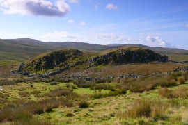
Buarth Brwynog
Llethrau Y-Foel / The slopes of Y-Foel
Buarth Brwynog
Location and coordinates are for the approximate centre of Snowdonia National Park within this administrative area. Geographic features and populated places may cross administrative borders.