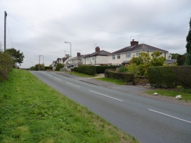
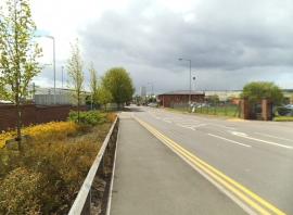
Smestow, Staffordshire

« Gazetteer Entry
Upload Photo

Smestow, Staffordshire

  • Built-Up Area: Wombourne
  • Parish/Community: Swindon
  • District/Borough: South Staffordshire
  • County: Staffordshire
  • Region: West Midlands
  • Category: Populated Place
  • Type: Village
  • Latitude/Longitude: 52°31'24"N 2°13'1"W
  • Eastings/Northings: 385367, 291766
  • OS Grid: SO853917
  • Mapcode Local: GBR 1B2.Q8Q
  • Mapcode Global: VH912.JT8S

Location and coordinates are for the approximate centre of Smestow within this administrative area. Geographic features and populated places may cross administrative borders.

BritishPlaceNames.uk is a Good Stuff website.