-
2011 : Heading north on Small Down Lane
-

2011 : North of east from Small Down Lane
2011 : Heading north on Small Down Lane
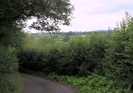
2011 : North of east from Small Down Lane
Location and coordinates are for the approximate centre of Small Down Knoll within this administrative area. Geographic features and populated places may cross administrative borders.