-
Wey and Arun Canal
-

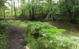
Canal overflow sluice on the Wey Arun Canal
Wey and Arun Canal
Canal overflow sluice on the Wey Arun Canal
Location and coordinates are for the approximate centre of Sidney Wood within this administrative area. Geographic features and populated places may cross administrative borders.