-
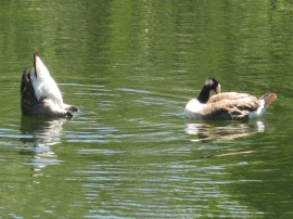
Bottoms Up - I Can't Look
-
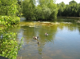
Pagets Pool, Ryton
Bottoms Up - I Can't Look
Pagets Pool, Ryton
Location and coordinates are for the approximate centre of Shrubs Wood within this administrative area. Geographic features and populated places may cross administrative borders.