-
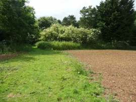
Footpath approaching a belt of trees, Wellbury, Offley
-
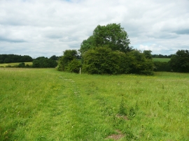
Footpath passing a copse near Old Wellbury, Offley
Footpath approaching a belt of trees, Wellbury, Offley
Footpath passing a copse near Old Wellbury, Offley
Location and coordinates are for the approximate centre of Shrub Wood within this administrative area. Geographic features and populated places may cross administrative borders.