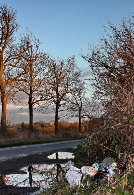
Shepherdshill Wood, Hertfordshire

« Gazetteer Entry
Upload Photo

Shepherdshill Wood, Hertfordshire

  • Built-Up Area: High Cross
  • Parish/Community: Thundridge
  • District/Borough: East Hertfordshire
  • County: Hertfordshire
  • Region: Eastern
  • Category: Landcover
  • Type: Forest or Wood
  • Latitude/Longitude: 51°50'59"N 0°1'51"W
  • Eastings/Northings: 535730, 218644
  • OS Grid: TL357186
  • Mapcode Local: GBR KB0.YVY
  • Mapcode Global: VHGP9.FR1Q

Location and coordinates are for the approximate centre of Shepherdshill Wood within this administrative area. Geographic features and populated places may cross administrative borders.

BritishPlaceNames.uk is a Good Stuff website.