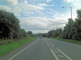
Sheephouse Wood, Wrexham

« Gazetteer Entry
Upload Photo

Sheephouse Wood, Wrexham

  • Parish/Community: Ruabon
  • Unitary Authority: Wrexham
  • Region: Wales
  • Category: Landcover
  • Type: Forest or Wood
  • Latitude/Longitude: 52°58'7"N 3°2'19"W
  • Eastings/Northings: 330336, 341765
  • OS Grid: SJ303417
  • Mapcode Local: GBR 74.K0C0
  • Mapcode Global: WH89B.9M6Z

Location and coordinates are for the approximate centre of Sheephouse Wood within this administrative area. Geographic features and populated places may cross administrative borders.

BritishPlaceNames.uk is a Good Stuff website.