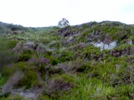
Sgeir nan Gall, Highland

« Gazetteer Entry
Upload Photo

Sgeir nan Gall, Highland

  • Unitary Authority: Highland
  • Region: Scotland
  • Category: Water Feature
  • Type: Island
  • Latitude/Longitude: 58°16'4"N 5°16'1"W
  • Eastings/Northings: 208471, 935660
  • OS Grid: NC084356
  • Mapcode Local: GBR F6CW.B4K
  • Mapcode Global: WH16Q.2G45

Location and coordinates are for the approximate centre of Sgeir nan Gall within this administrative area. Geographic features and populated places may cross administrative borders.

BritishPlaceNames.uk is a Good Stuff website.