-
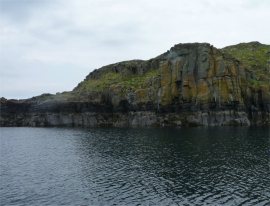
Columnar basalt cliffs
-
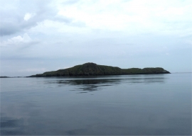
Eilean Creagach
Columnar basalt cliffs
Eilean Creagach
Location and coordinates are for the approximate centre of Sgeir a' Chuain within this administrative area. Geographic features and populated places may cross administrative borders.