-
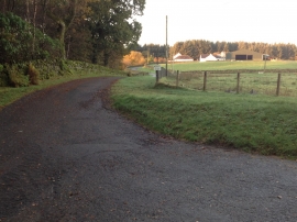
Farm road to Newbank Farm
-
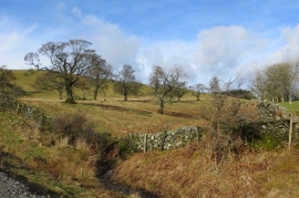
Plewlands Hill
Farm road to Newbank Farm
Plewlands Hill
Location and coordinates are for the approximate centre of School Wood within this administrative area. Geographic features and populated places may cross administrative borders.