-
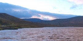
Blustery afternoon at Scar House
-
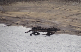
New Lathe Barn
Blustery afternoon at Scar House
New Lathe Barn
Location and coordinates are for the approximate centre of Scar House Reservoir within this administrative area. Geographic features and populated places may cross administrative borders.