-
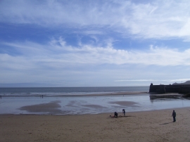
Saundersfoot Beach
-
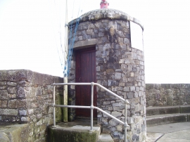
Saundersfoot Harbour structure
Saundersfoot Beach
Saundersfoot Harbour structure
Location and coordinates are for the approximate centre of Saundersfoot Bay within this administrative area. Geographic features and populated places may cross administrative borders.