-

The west slopes of Burifa Hill
-
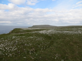
Bog cotton on the moor above the cliffs at Dunnet Head
The west slopes of Burifa Hill
Bog cotton on the moor above the cliffs at Dunnet Head
Location and coordinates are for the approximate centre of Sanders Loch within this administrative area. Geographic features and populated places may cross administrative borders.