-

Track through Saltridge Common Woods
-
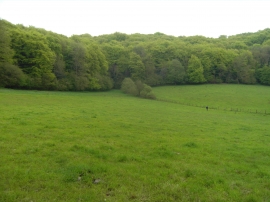
Saltridge Common Woods from the north west
Track through Saltridge Common Woods
Saltridge Common Woods from the north west
Location and coordinates are for the approximate centre of Saltridge Common Wood within this administrative area. Geographic features and populated places may cross administrative borders.