-
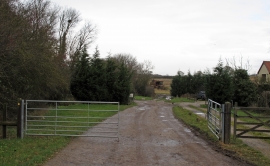
Footpath on farm track
-
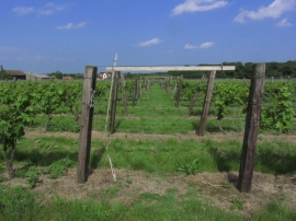
Vineyard at New Hall, Purleigh, Essex
Footpath on farm track
Vineyard at New Hall, Purleigh, Essex
Location and coordinates are for the approximate centre of Rudley Green within this administrative area. Geographic features and populated places may cross administrative borders.