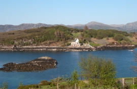
Rubha na Mòine, Highland

« Gazetteer Entry
Upload Photo

Rubha na Mòine, Highland

  • Unitary Authority: Highland
  • Region: Scotland
  • Category: Geographic Feature
  • Type: Coastal Headland
  • Latitude/Longitude: 57°42'20"N 5°43'38"W
  • Eastings/Northings: 178034, 874535
  • OS Grid: NG780745
  • Mapcode Local: GBR D87C.3D1
  • Mapcode Global: WH081.ZLV5

Location and coordinates are for the approximate centre of Rubha na Mòine within this administrative area. Geographic features and populated places may cross administrative borders.

BritishPlaceNames.uk is a Good Stuff website.