-

The A884 approaching the Laudale junction
-
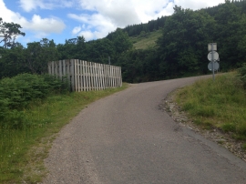
Minor road junction near Loch Sunart
The A884 approaching the Laudale junction
Minor road junction near Loch Sunart
Location and coordinates are for the approximate centre of Rubha Mhic Beathaig within this administrative area. Geographic features and populated places may cross administrative borders.