-

Many sheep in a field near Heyope
-
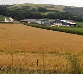
Lower Hall Farm near Heyope
Many sheep in a field near Heyope
Lower Hall Farm near Heyope
Location and coordinates are for the approximate centre of Round Wood within this administrative area. Geographic features and populated places may cross administrative borders.