-

The junction of Lane End Road and Warwick Avenue
-
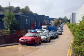
Progress Road in Sands
The junction of Lane End Road and Warwick Avenue
Progress Road in Sands
Location and coordinates are for the approximate centre of Round Wood within this administrative area. Geographic features and populated places may cross administrative borders.