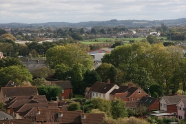
Roughmoor, Somerset

« Gazetteer Entry
Upload Photo

Roughmoor, Somerset

  • Built-Up Area: Norton Fitzwarren
  • Parish/Community: Norton Fitzwarren
  • District/Borough: Taunton Deane
  • County: Somerset
  • Region: South West
  • Category: Populated Place
  • Type: Other Settlement
  • Latitude/Longitude: 51°1'24"N 3°8'5"W
  • Eastings/Northings: 320500, 125500
  • OS Grid: ST205255
  • Mapcode Local: GBR LZ.HZK1
  • Mapcode Global: FRA 46BD.SMX

Location and coordinates are for the approximate centre of Roughmoor within this administrative area. Geographic features and populated places may cross administrative borders.

BritishPlaceNames.uk is a Good Stuff website.