-

The River Weaver looking downstream
-
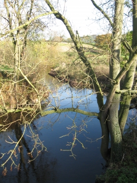
The River Weaver looking upstream
The River Weaver looking downstream
The River Weaver looking upstream
Location and coordinates are for the approximate centre of Rookery Wood within this administrative area. Geographic features and populated places may cross administrative borders.