-
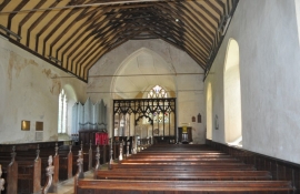
St Margaret's Church, Paston
-
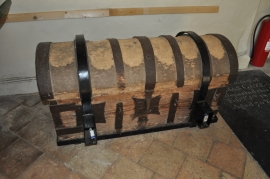
15th Century chest
St Margaret's Church, Paston
15th Century chest
Location and coordinates are for the approximate centre of Rookery Plantation within this administrative area. Geographic features and populated places may cross administrative borders.