-
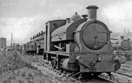
An unusual engine at Severn Tunnel Junction Locomotive Depot
-
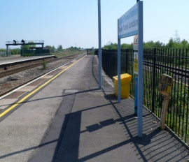
Eastern end of platform 1 at Severn Tunnel Junction railway station
An unusual engine at Severn Tunnel Junction Locomotive Depot
Eastern end of platform 1 at Severn Tunnel Junction railway station
Location and coordinates are for the approximate centre of Rogiet within this administrative area. Geographic features and populated places may cross administrative borders.