-
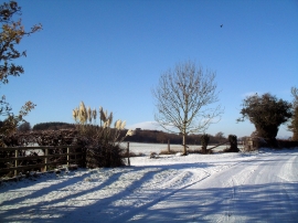
Snowy Lane with Pampas Grass
-
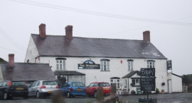
The Windmill, Rowton
Snowy Lane with Pampas Grass
The Windmill, Rowton
Location and coordinates are for the approximate centre of Rock Plantation within this administrative area. Geographic features and populated places may cross administrative borders.